Xochicalco Archaeological Zone
The Entry Road
A stone road that already led into the city when it was alive.
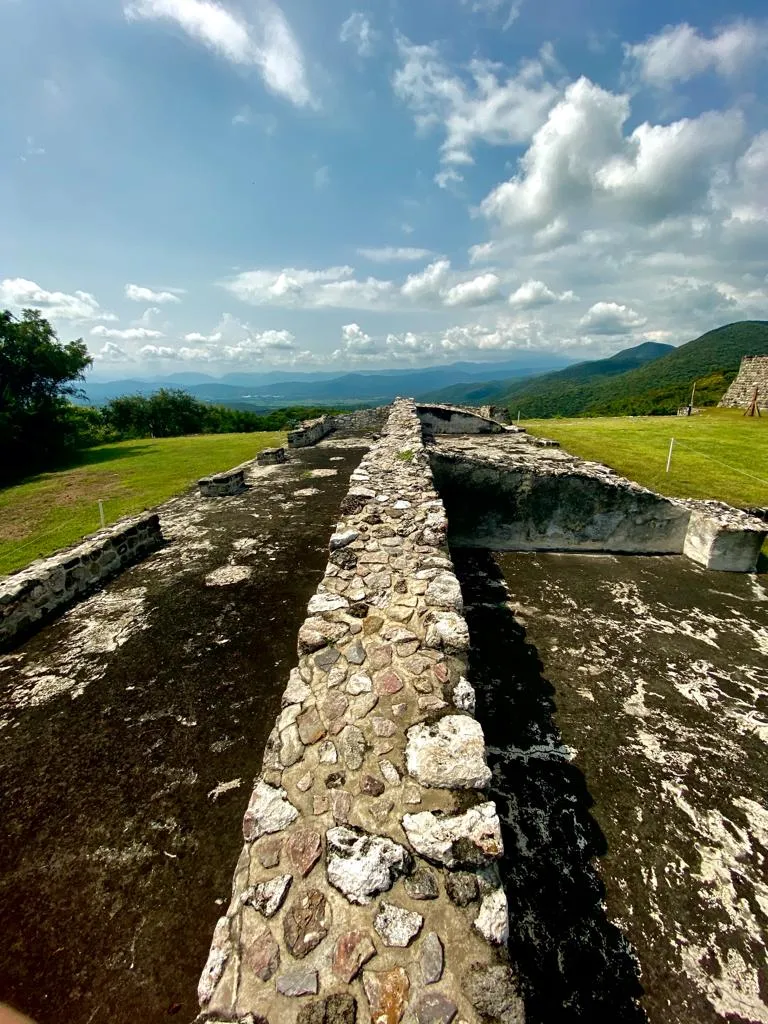
Location: Arrival and First Look, Xochicalco Archaeological Zone.
A road is a way of saying who may come in. In Xochicalco, it is no exception.
According to the official INAH guide, the main access complex includes entry control systems and a square plaza. It also includes the last stretch of the pre-Hispanic road that left the city.
Other sources add that the access road was straight and arrived from the south side, from the valley floor. This causeway also connects to the south ball court, the largest in the city, which sits on the lowest terrace.
UNESCO and the INAH mention that the lower level of the city was surrounded by walls with defended entrances. That means that reaching Xochicalco was not simply a matter of crossing a gate. It meant passing through checkpoints.
The causeways had another use. The site director, Medina Romero, explains that the paved causeways connected sectors of the city and reached lengths of about one hundred seventy-five meters. They were the backbone along which people moved.
Before going on, look at the ground. The roads of ancient cities were paved with stone, and that work tells a story of organization. Moving so much stone required people, time, and someone to give the order.
Pause for a moment and think about who came in this way. Merchants from other peoples, people carrying obsidian, players who came for the ball court, envoys from neighboring communities. And also armies, when the city was already under threat.
Today this road leads you to a single place: the heart of a fortified city. What comes next is to climb up and discover it.
Listen to the full audio guide for Xochicalco Archaeological Zone
72-hour pass for US$10, no subscription.